THE PATH OF PEACE, A PATH FOR ALL
Trentino Marketing promoted the remapping of the itinerary of great historical, environmental and cultural value in collaboration with the “Va' Sentiero” mapping team. A new digital guide of the route has been created and is available on the visittrentino.info portal
An itinerary 495 kilometers long, from the Passo Tonale to the Marmolada, along the front line and which crosses the entire Trentino borders, connecting the places that were the sites of the Great War, the one fought among the snow and ice and on the mountain crests by the soldiers of the Kingdom of Italy against those of the Austro-Hungarian Empire, during the First World War. A war where for many months their first enemy became the extreme environment, the cold and the avalanches, which put the resistance of thousands of men to test and sent to face each other or to guard a stronghold in extreme conditions to the test.
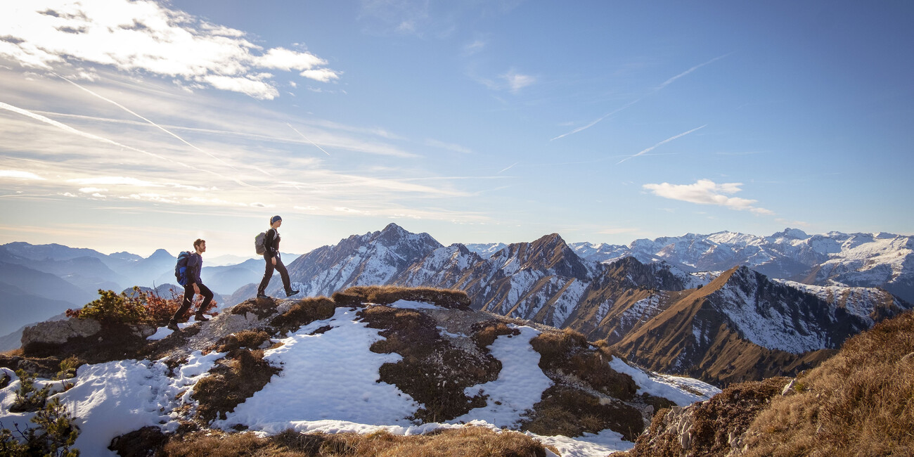
Today the Path is a hiking route of great environmental interest and with a profound cultural and historical meaning, well symbolized by its trail sign, a white or yellow dove. A journey down memory lane, to reflect and meditate while observing those disputed places more than a hundred years after that tragic conflict.
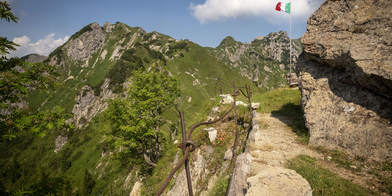
This path links together kilometers of mule tracks and trenches, dozens of strongholds and fortresses, posts, tunnels and barracks on the challenging heights of perennial glaciers, small cemeteries and large and small museums spread across the valleys of Trentino.
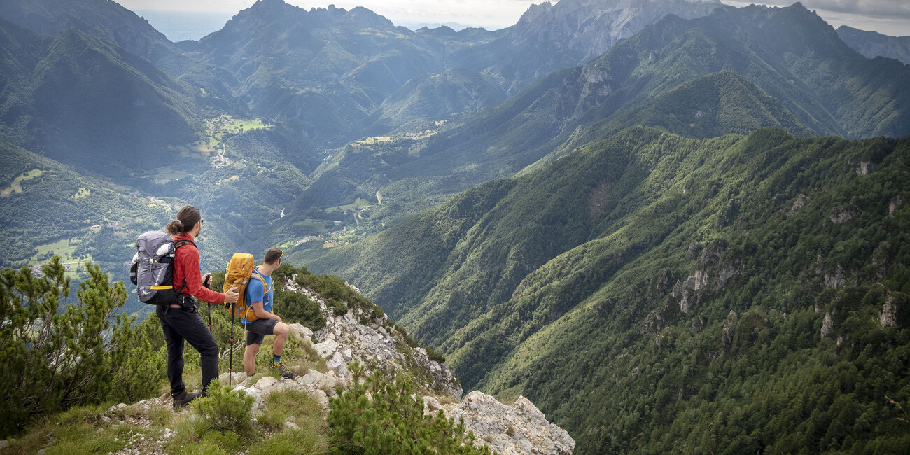
You will find places with evocative names and well known by mountain lovers. The high-altitude theaters of the White War, the "cuts" in the valley bottoms such as the Corno and Larino forts in Valle del Chiese and the stronghold of Riva del Garda, to then go up again towards Monte Altissimo, making a stop in Rovereto "City of Peace”. From Colle di Miravalle, where the tolling of the "Bell of the Fallen" becomes a universal prayer every evening for the fallen of yesterday and today, you climb towards Mount Zugna and the "sacred area" of Mount Pasubio, the Cimbrian plateaus, on the red rocks of the Lagorai chain, to reach the fortified ridges in the Marmolada mountain. The common theme of these places is the emotion they still arouse as witnesses of the cruelty of war and the tragic daily life experienced by thousands of men a century ago and at the same time bearers of an international message of peace and beauty transmitted by woods full of noises and verdant mountain pastures that resonate with the ringing of flocks and herds grazing, roaring streams and waterfalls, peaks shrouded in silence overlooking the valleys.
Walking on the Path of Peace
Following the complete reconnaissance of the route carried out by the Va' Sentiero mapping team, the Path of Peace has been divided into seven sections, to be covered in
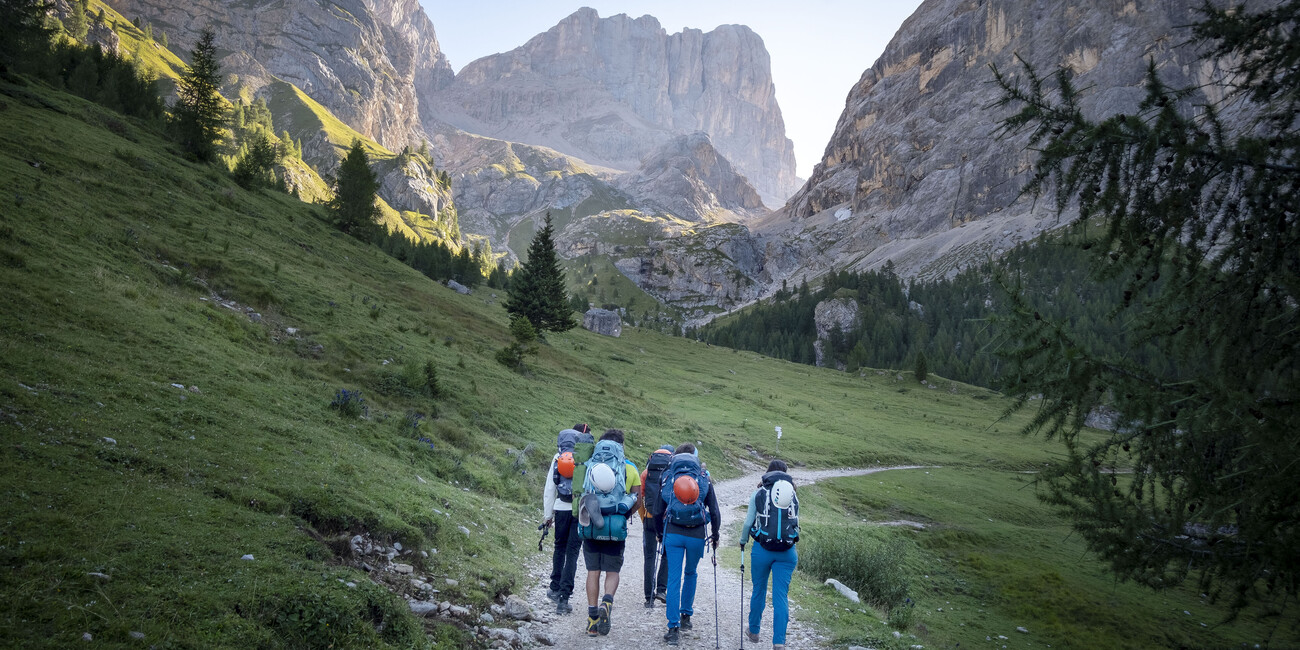
35 stages. It is an itinerary which, if you want to cover it entirely, including the first two sections between Val di Sole and Valle del Chiese in the Presanella, Adamello and Ledro Alps groups, requires over 30 days of walking, excellent training and good experience
The departure is from Passo del Tonale, and you immediately tackle the high-altitude sections and across the Adamello – Mandròn glaciers. After more than thirty days of walking, among mountains, woods, alpine lakes and streams, waterfalls, the Path of Peace ends on the Marmolada glacier, in Val di Fassa.
Much of the route is identified by special signs that are easily recognizable because they show the symbol of the Path of Peace, a dove, but it is always a good idea to study the route carefully and, above all, always keep in mind that you have to be careful. The advice, in any case, is to travel it from late spring to autumn.
In some stages the itinerary proposed by Va' Sentiero deviates slightly from the traditional route of the Sentiero della Pace. The advice is to study the itinerary carefully before setting off.
Advice before setting off
In some cases, such as some routes that run along the Lagorai chain, the route identified by Va' Sentiero differs quite a bit from the traditional one. The advice, if you want to tackle these routes, is to carefully study the itinerary using the information, maps and GPS tracks implemented by outdooractive and available on the visittrentino.info website.
If you intend to stay overnight in the refuges along the trail, it is advisable to contact the managers of the refuges to be sure of finding them open, as well as to obtain information on the travel status of the paths.
Further info: https://www.visittrentino.info/en/experience/hiking-and-trekking/path-of-peace

