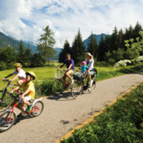
Valle del Sarca bike path
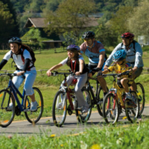
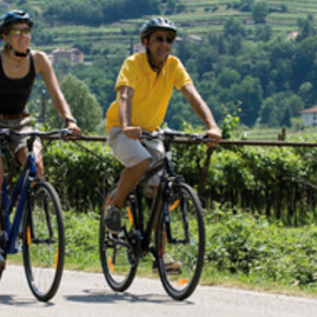
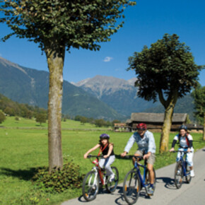
The Valle del Sarca bike path travels across 11 km of one of the most attractive areas of countryside in the entire Trentino region.
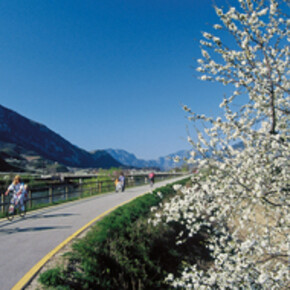
The Valle del Sarca bike path travels across 11 km of one of the most attractive areas of countryside in the entire Trentino region. Thanks to the lake and mild weather conditions, the area features a Mediterranean vegetation, which is strikingly different from the high rocky cliffs surrounding the valley and the lake. The path follows the banks of lower River Sarca, making its way upriver for approximately six kilometres where it reaches Arco. It then moves on towards Ceniga, passing along Mount Colodri and Malapreda. The bike path ends in Ceniga, and has a difference in height of 60 m in the direction of Dro (North).
The ending section of the bike path also follows the banks of the River Sarca, from Pietramurata to Sarche. This short 3.5 km path segment is connected both to other unpaved bike paths, which travel through the Marocche area, and to a paved road which runs along the banks of Lake Cavedine. Another part of the bike path is located on the Northern shore of Lake Garda, and connects Torbole to Riva. It takes cyclists along the river on a jutting piece of land, and by-passes a short tunnel to reach the Porto San Nicolò and Riva del Garda town-centre.
Contact & Directions
38066 Riva del Garda , Italy


