I 60 Km della Vigolana
Long distance hiking trail • Alpe Cimbra Folgaria Lavarone Luserna
I 60 Km della Vigolana
This route is the longest of all the trails, into which various sub-routes are integrated, forming many variants. The combined lengths of these variants add up to approximately 200 km of accessible paths.
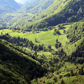
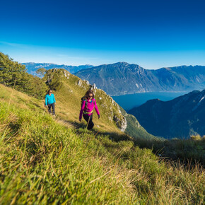
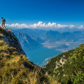
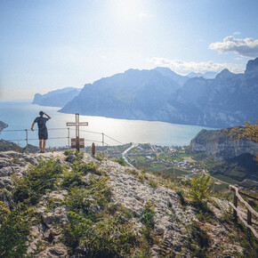
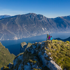
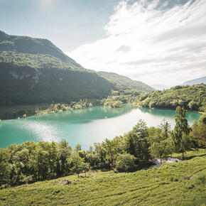
You will be surprised by the rich and varied landscape: the vegetation changes quickly even within a few hundred meters, ranging from 600 m above sea level to 1200 m, from wide meadows to cultivated fields in an astonishing geometric composition, from well-ordered apple orchards to small fruit crops, from vineyards on the slopes in excellent exposure to majestic chestnut forests, from picturesque deciduous woods, especially in autumn colors, to coniferous forests that retain their intense green even in winter. Follow the waterways that can tell hundreds of years of history of our territory, observing the rocks, which are sometimes barren, sometimes covered with moss, or dotted with the colors of alpine flowers. You will pass through the villages of the fractions of the municipality of Altopiano della Vigolana, each with its own characteristics: ancient portals, wooden balconies, and old houses dating back to ancient times. <p>Interesting historical sites include the forts "Fornas and Brusafer," standing guard over the Adige Valley, the "Casteller" in the Doss del Poster area, the ruins of the artisan nucleus in the Centa Torrent River Park, the rocky spur of "Anza Rossa" with a panoramic view of the underlying plain of Caldonazzo and its lake, the "Parco delle Fratte" in Bosentino, "Terre Rosse" above Vigolo Vattaro with views of the entire Altopiano della Vigolana, and Doss Da Bugo with a magnificent view of Cima Tosa in the Brenta Group.</p>

