Sentiero della Pace 30: from Rifugio Brentari to Caoria
Hiking trail • Valsugana, Lagorai, Vigolana and Valle dei Mocheni
Sentiero della Pace 30: from Rifugio Brentari to Caoria
<p>Overlapping with a stretch of Sentiero Italia, this stage doesn’t have a single dull moment. Although it’s short and almost entirely downhill, it offers a variety of landscapes and some unforgettable views. Val Regana is a hidden gem! </p>
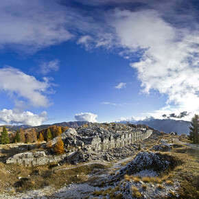
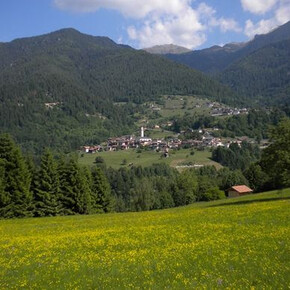
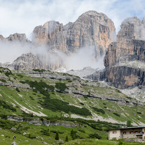
<p>From Rifugio Brentari, take trail 386 and follow it as it leads up and down along the slope. The track remains fairly clear (the signposts help) as far as Forcella del Passetto (2,487 m). From here, take 387 (the G. Negrelli trail) and continue along the slope, with stretches of beaten path alternating with stone in other parts: pay attention to your footing. Once you reach the Cresta Pass (2,441 m), you’ll have a far-reaching view of Vallone delle Prese and, much further down, Forcella di Val Regana. </p> <p>Continue along the G. Negrelli trail and tackle the fairly challenging descent towards the fork (around 400 metres of a vertical drop). The incline is quite steep, the ground requires a certain expertise, and some stretches are aided with a metal wire (which helps with the more difficult steps). This all means you’ll lose altitude quickly, at the foot of the beautiful Col de la Crose group. Once you’re at the same rough altitude as the gap, you’ll continue along the slope on the left-hand side of the valley, past some areas of scree, before climbing back up to Forcella di Val Regana (2,043 m). </p> <p>From here, you’ll finally find yourself following a real trail, the 338, which is frequently half-covered by low vegetation even during the first half. This is the start of the second descent, longer but more gradual (1,200 metres of a vertical drop). Val Regana may surprise you as it gradually reveals the beauty of its wild woods and the rock walls around it. It’s clear that there aren’t many visitors to this place. You’ll often find yourself walking beside the Rio di Val Regana: with its pools of crystal-clear water, it’s tempting to jump in for a refreshing dip. Sometimes it can be hard to spot the signposts, so you need to keep a close eye out and monitor your GPX track. </p> <p>After 6.9 km, you’ll reach a dirt road which you’ll follow to the right. A few hundred meters later, you’ll rejoin the 338, now well marked and maintained, and after a few gentle bends along the way down you’ll meet a forest road. Descend along this for the last few kilometres. After the hamlet of Svaizera, the last stretch consists of a steep descent (take care not to slip, as your attention may be waning so close to the finish line) before you find yourself walking along the bank of the river Vanoi. Cross this via the Belfe bridge, and you’ll shortly arrive in the little town centre of Caoria. </p>

