Cycle routes in Trentino

Cycling along the river, amongst vineyards, mountains and castles

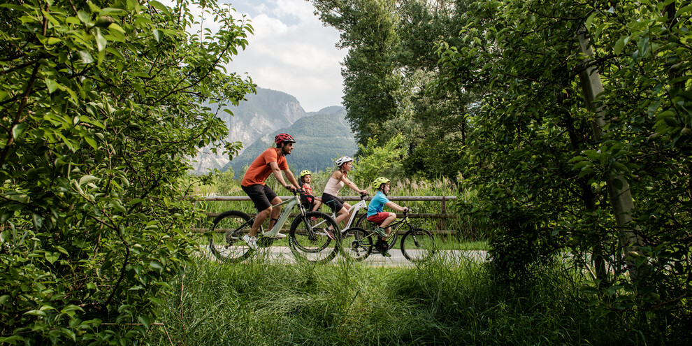
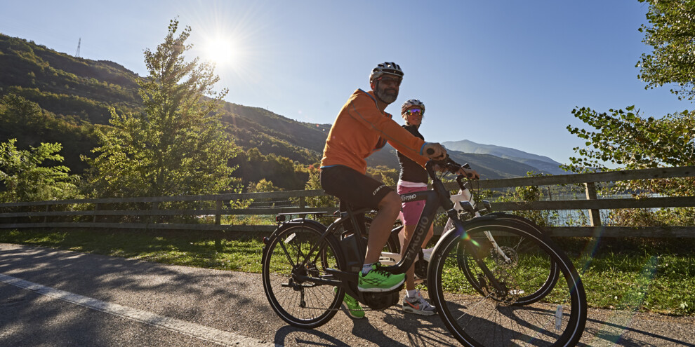
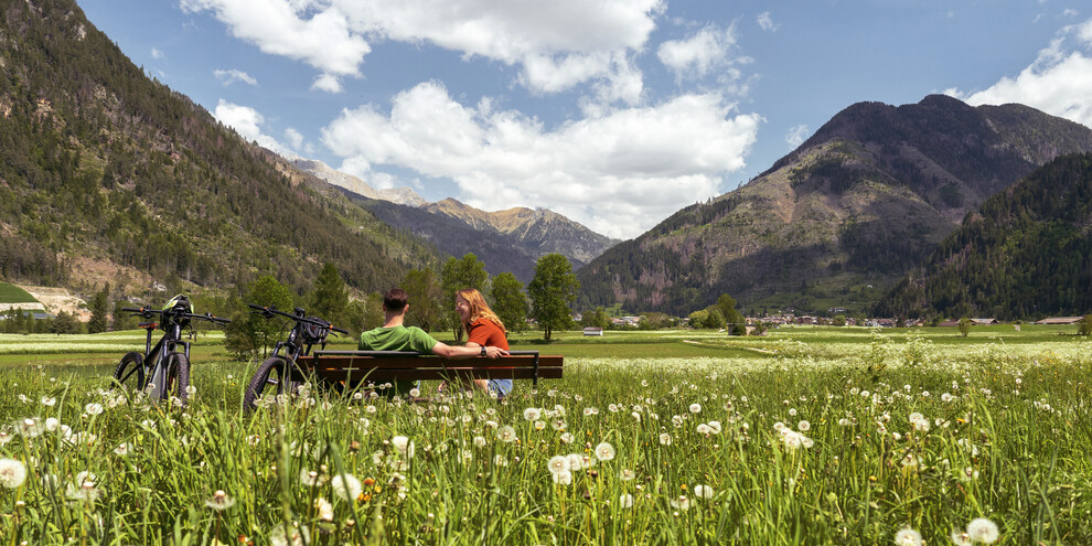
Things are different with your bike: it’s the trip that counts. Choose the right route and, as you pedal, simply soak up the open spaces and relish the breeze on your face.

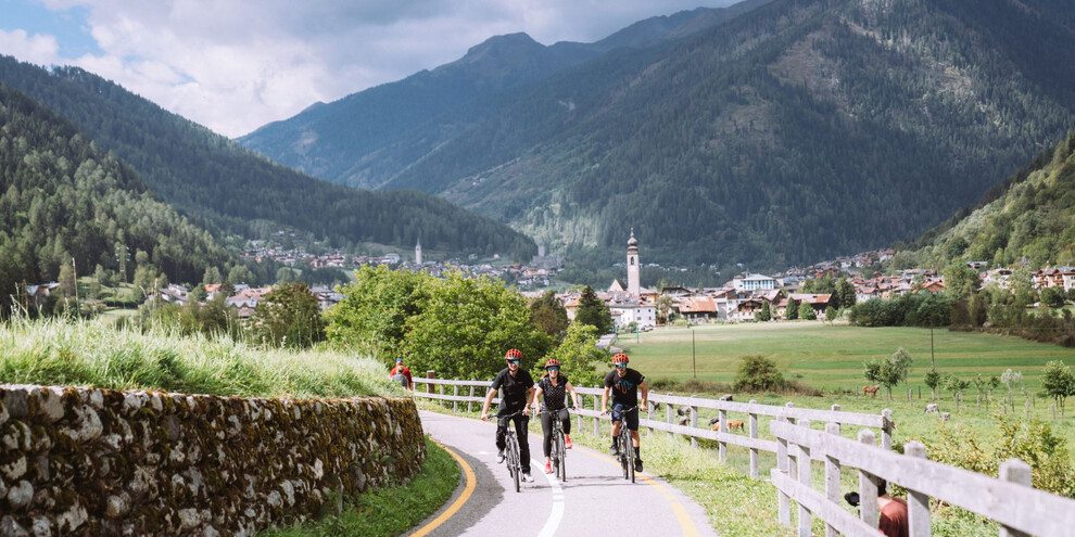
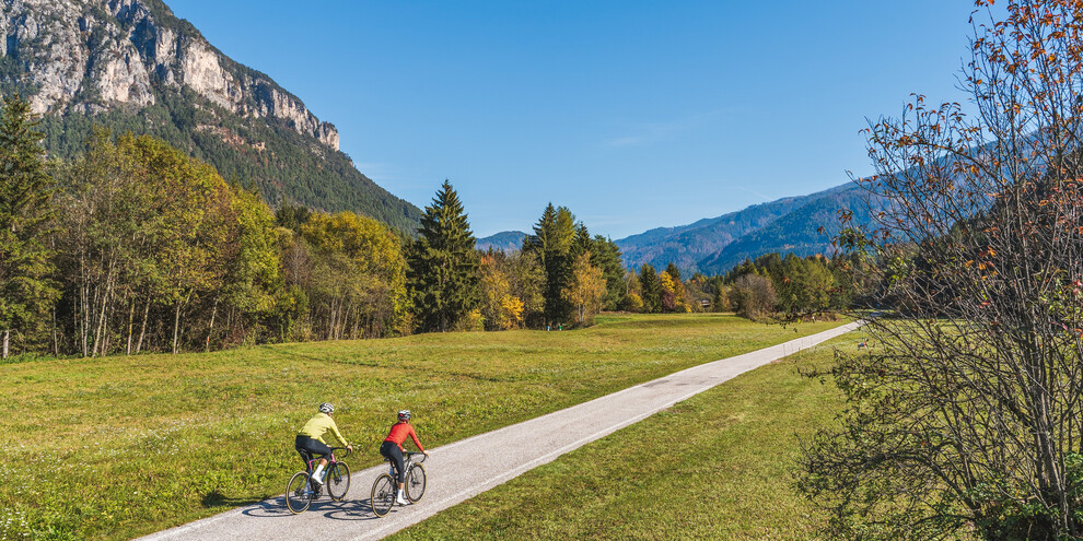
With your bike you can go from the scent of hornbeam to the aroma of olive groves all in one day and along the same route. As you pedal just look around you and your gaze may fall on a hillside castle nestled in the woods or vineyards or on the majesty of the Dolomites themselves.

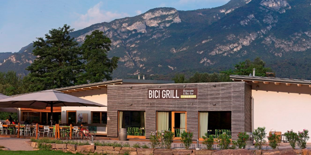
Many cycling aficionados choose Trentino for the variety of landscapes, the quality of the cycleways and of course for the services available. Along the routes there are numerous refreshment points known as “Bicigrills”. Here you can have a bite to eat or something to drink, check up on your bicycle and find useful information.

Find out about our top cycling routes and tips on where to stop for a tasty break.
The Valsugana Cycleway

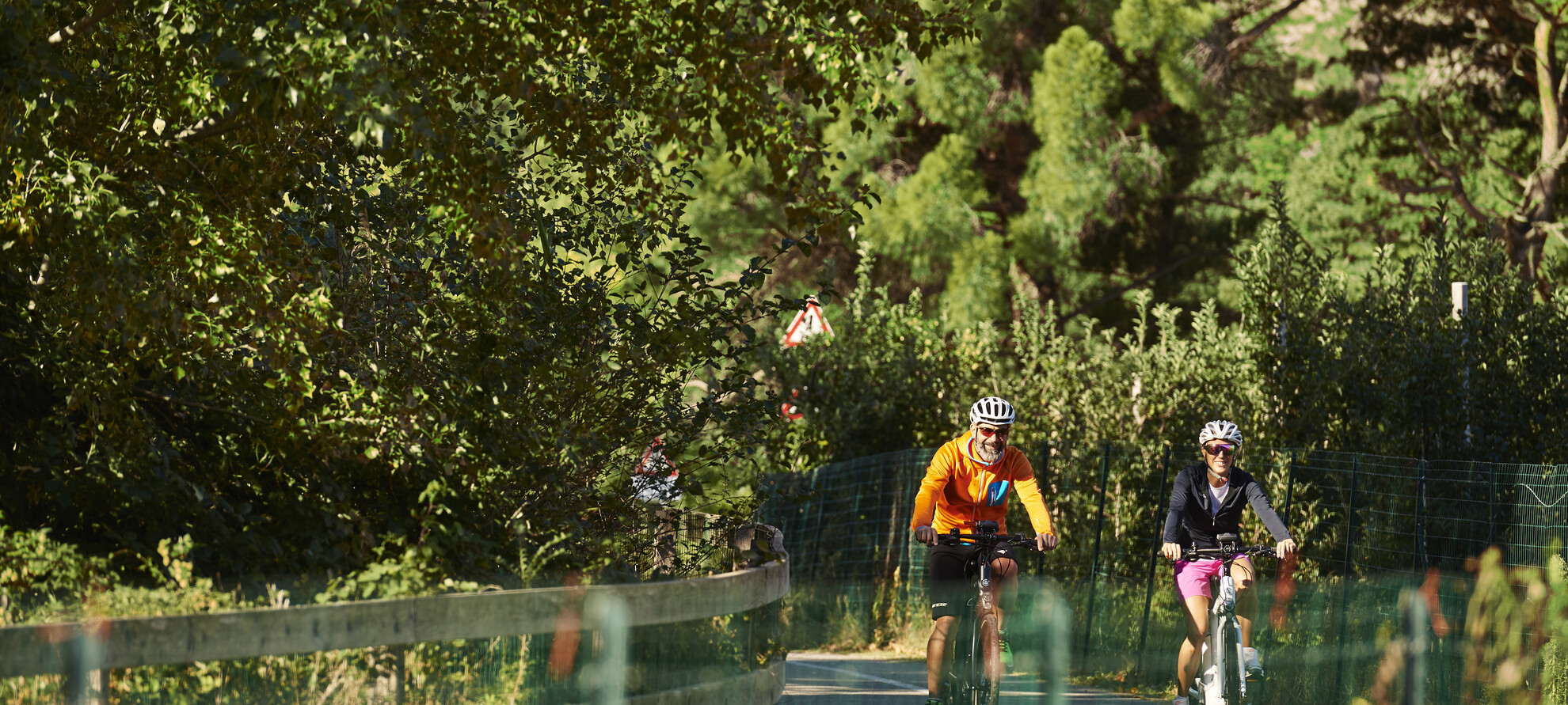
It starts off in the town of Pergine Valsugana and winds its along the Brenta River for 52km, crossing Trentino and reaching Veneto. The route is generally level and skirts the lakes of Levico and Caldonazzo. Along the way you can stop off at the “Bicigrill” refreshment points of Levico Terme, Novaledo, Castelnuovo and Tezze.

The Adige Cycleway

The Trentino stretch of the long cycling route that links Bolzano to Verona, following the course of the Adige river, is about 80km long with “Bicigrill” refreshment stops in Cadino, Trento, Rovereto, Nomi and Avio. The most interesting leg of the cycleway is between Trento and Rovereto, about 30km, which winds through the vineyards of Vallagarina. Strong points? The outline of Beseno Castle which dominates the landscape.

The Lake Cycleway

Along this route, the scent of olive trees is gradually overcome by that of hornbeam. This cycleway takes you from Lake Garda up along the Sarca river, lake after lake, and landscape after ever-changing landscape. From the warm shorelines of Lake Garda to the romantic lake of Toblino with its castle that appears to float on water. You can stop also at the “Bicigrill” in Linfano!

The Fiemme and Fassa Cycleway

If you’re looking for mountains this is the perfect route. A 48km cycleway that winds its way through meadows and fir and larch forests, with the Dolomites of the Latemar and Rosengarten groups embracing the panorama. There are a few climbs and so the fitter the better. If you’re feeling tired however you can stop at the “Bicigrill” refreshment points of Predazzo and Moena.

The cycle path from the Brenta Dolomites to lake Idro

57 kilometers long, it passes through woods and meadows, wooden bridges and walkways immersed in greenery, connecting the Brenta Dolomites to Lake Idro, through Val Rendena, Giudicarie Centrali and Valle del Chiese. In some places, looking up, you can see the spires of the Brenta Dolomites and the glaciers of Adamello-Presanella, in the Adamello Brenta Natural Park. For a tasty break, stop at the Bar Bici Grill in Vigo Rendena in Val Rendena.

The Val di Sole bicycle trail

The Val di Sole bicycle path is 34 km long and starts from the Mostizzolo Bridge, which defines the border between Val di Non and Val di Sole, up to Cogolo di Peio. It runs along the lively Noce stream - according to the National Geographic Channel one of the 10 best rivers in the world on which to practice freshwater sports - a paradise for rafting, canoeing and kayaking. The Bike Grill on the cycle path in Pellizzano has everything you need for a tasty boost of energy.

Primiero Bicycle Trail

The Primiero bicycle trail connects the village of Imer to San Martino di Castrozza. 18 kilometres take you into the woods, over a steel cable bridge, up to almost 1500 metres a.s.l., to the village of San Martino di Castrozza overlooking the Pale. In Siror you will also find the 'Al Molin' bicigrill.

Come and discover out cycleways

Here we’ve highlighted just seven routes, but the cycleways in Trentino cover over 400km. Find them all here along with precious information regarding length, difficulty e time required. Furthermore, the map will help you organise the itinerary for your next cycling holiday.

Published on 06/09/2024